Lunar Reconnaissance Orbiter (LRO)
The Lunar Reconnaissance Orbiter (LRO) launched on June 18, 2009, and remains the cornerstone of modern lunar exploration. Operating seven sophisticated instruments including the Lunar Reconnaissance Orbiter Camera (LROC) and Lunar Orbiter Laser Altimeter (LOLA), LRO has returned petabytes of data: sub-meter images resolving Apollo lunar lander descent stages and astronaut tracks, thermal maps showing the coldest spots in the solar system (-248°C), and 3D terrain models used for Artemis landing site selection.
Mission Imagery & Gallery
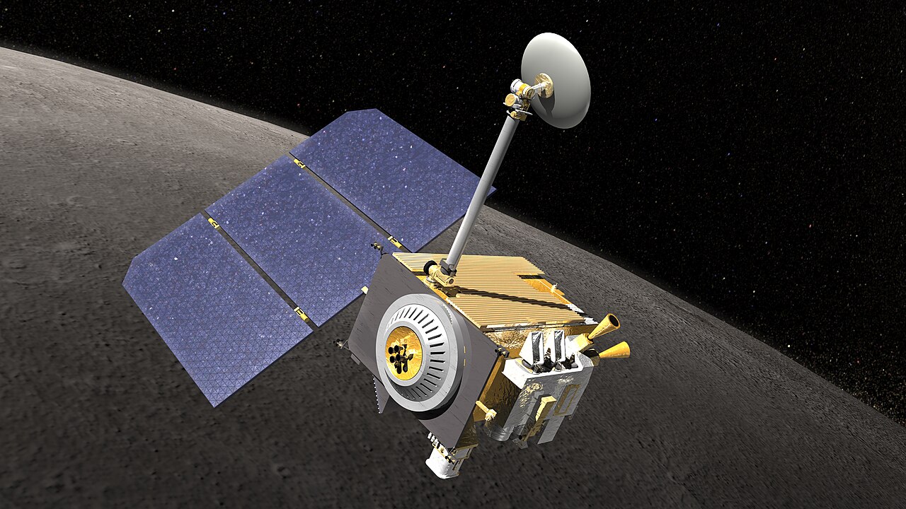
Primary Achievement
NASA's premier active lunar orbiter; created the highest-resolution global topographic and photographic atlas of the Moon.
Mission Objectives
- Characterize lunar radiation environment, thermal conditions, and illumination at polar regions
- Generate ultra-precise global geodetic grid and sub-meter imagery of high-priority sites
- Identify resource deposits (volatiles, water ice) and assess safe landing hazards for Artemis
Timeline Events
- 2009-06-18 — Launched from Cape Canaveral SLC-41 co-manifested with LCROSS on Atlas V.
- 2009-06-23 — Inserted into 50-km circular polar lunar orbit.
- 2009-07-17 — LROC released first stunning high-resolution images of Apollo 11, 14, 15, 16, and 17 sites.
- 2024-06-18 — Celebrated 15 consecutive years of continuous active lunar mapping and mission support.
Related Missions
- LCROSS (2009) · NASA
- Apollo 11 (1969) · NASA
- Danuri (KPLO) (2022) · KARI
- Artemis I (2022) · NASA
- Chandrayaan-2 (2019) · ISRO — LRO's LROC camera and Shanmuga Subramanian located the Vikram lander crash site in December 2019
- Peregrine Mission 1 (2024) · Astrobotic — LRO had mapped the Gruithuisen Domes intended landing zone for this aborted CLPS mission
Historical & Technical Sources
Ready to view Lunar Reconnaissance Orbiter (LRO) in 3D?
Interactive 3D Moon viewer with exact site coordinates, sun position, and surrounding topography.
🚀 View Lunar Reconnaissance Orbiter (LRO) on 3D Moon