Clementine (DSPSE)
Clementine (DSPSE) was a joint mission between the US Ballistic Missile Defense Organization (BMDO) and NASA. Operating in lunar orbit from February to May 1994, it acquired 1.8 million digital images in ultraviolet, visible, and near-infrared bands, producing the first global mineralogical and topographic atlas of the Moon. A bistatic radar experiment beamed radio waves into permanently shadowed craters near the lunar south pole, detecting reflections consistent with water ice deposits.
Mission Imagery & Gallery
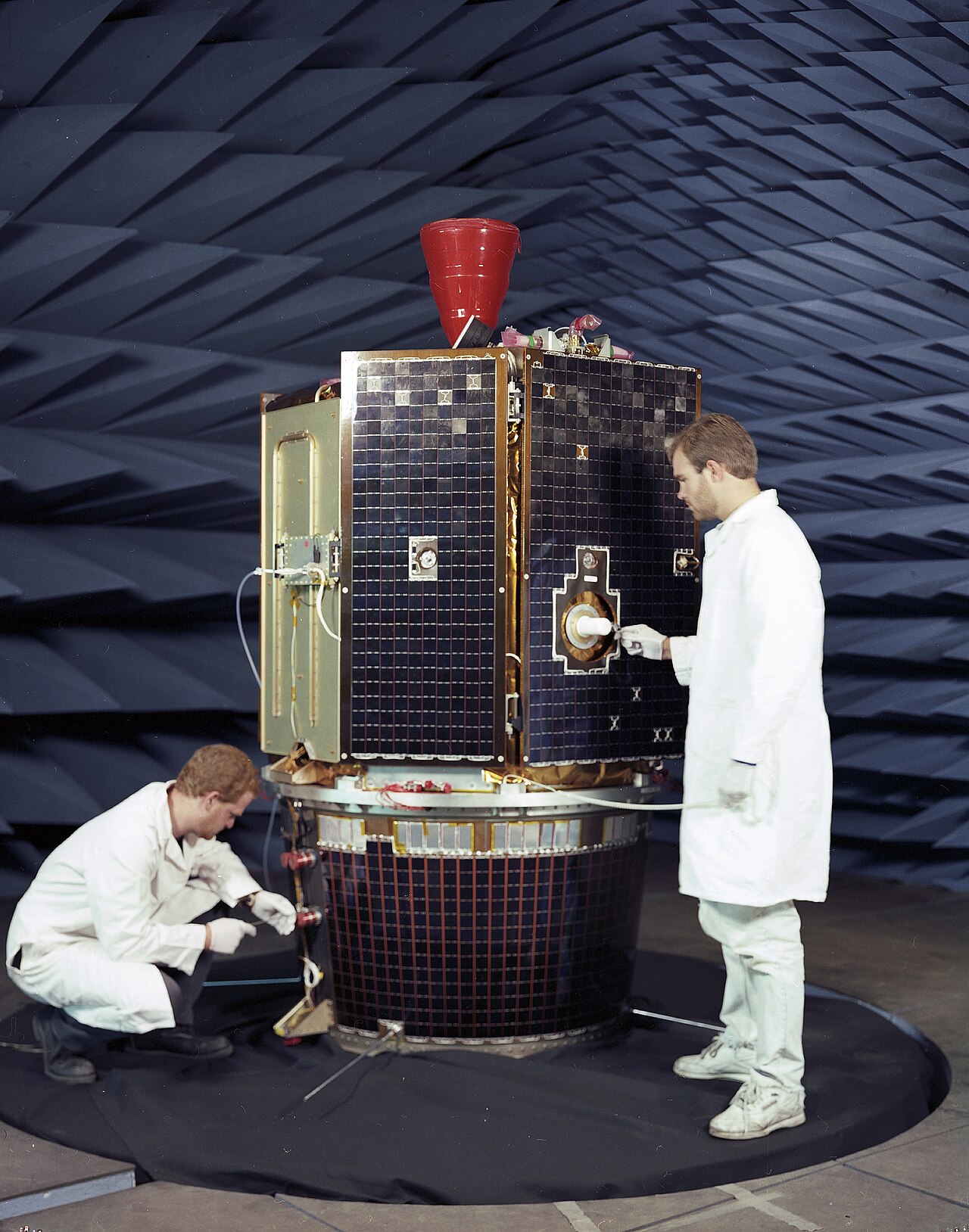
Primary Achievement
Captured the first comprehensive digital multispectral global map of the Moon and found first radar evidence of polar ice.
Mission Objectives
- Space-qualify lightweight sensors and advanced imaging components in deep space environment
- Perform global multispectral imaging and laser altimetry mapping of the lunar surface
- Search for volatile deposits and water ice in permanently shadowed polar craters
Timeline Events
- 1994-01-25 — Launched from Vandenberg AFB aboard Titan II rocket.
- 1994-02-19 — Inserted into polar lunar orbit to begin global mapping campaign.
- 1994-05-03 — Departed lunar orbit after mapping 99% of the Moon with 1.8 million digital frames.
- 1994-05-07 — Onboard computer glitch fired thrusters to depletion, precluding planned asteroid Geographos flyby.
Related Missions
- Lunar Prospector (1998) · NASA
- Lunar Reconnaissance Orbiter (LRO) (2009) · NASA
- LCROSS (2009) · NASA
Historical & Technical Sources
Ready to view Clementine (DSPSE) in 3D?
Interactive 3D Moon viewer with exact site coordinates, sun position, and surrounding topography.
🚀 View Clementine (DSPSE) on 3D Moon