Chang'e 1
Chang'e 1 inaugurated Phase 1 of the Chinese Lunar Exploration Program (CLEP). Launched on October 24, 2007, it entered a 200-km circular polar orbit and mapped the entire lunar surface using a stereo camera and laser altimeter, creating an accurate 3D global digital elevation model. It also carried the first multi-channel microwave radiometer on a lunar probe to estimate regolith thickness and helium-3 distribution. It ended with a controlled impact in Mare Fecunditatis on March 1, 2009.
Mission Imagery & Gallery
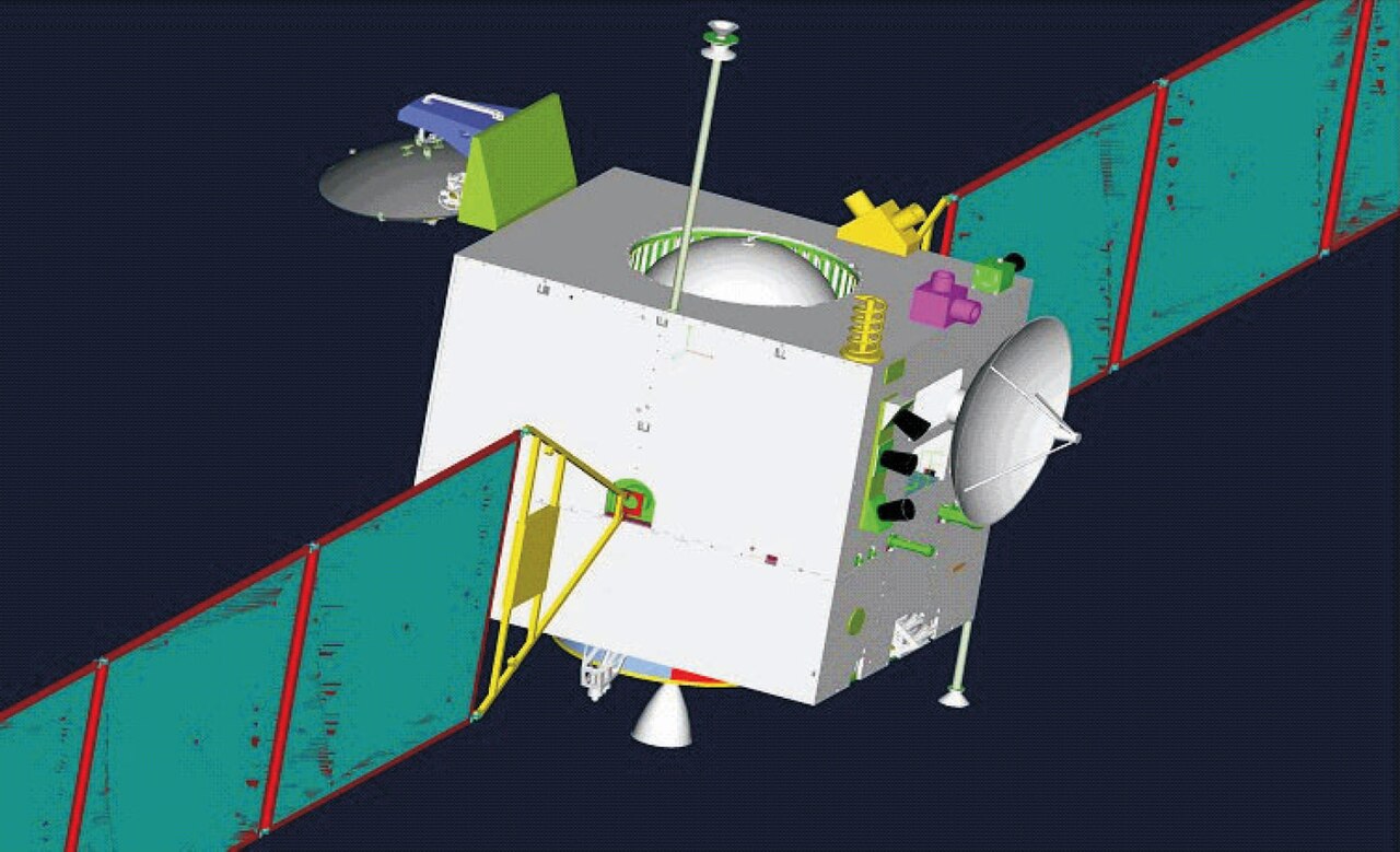
Primary Achievement
China's first lunar mission; produced complete 3D digital map of the Moon and pioneered microwave radiometer depth sensing.
Mission Objectives
- Acquire three-dimensional stereo images of the entire lunar surface
- Map distribution and abundance of 14 useful chemical elements and minerals
- Probe regolith thickness and evaluate microwave thermal characteristics
Timeline Events
- 2007-10-24 — Launched from Xichang Satellite Launch Center aboard Long March 3A.
- 2007-11-05 — Inserted into 200-km circular polar lunar orbit.
- 2007-11-20 — First official lunar image released; complete global 3D model published in 2008.
- 2009-03-01 — Controlled deorbit burn executed; impacted Mare Fecunditatis at 07:13:10 UTC.
Related Missions
Historical & Technical Sources
Ready to view Chang'e 1 in 3D?
Interactive 3D Moon viewer with exact site coordinates, sun position, and surrounding topography.
🚀 View Chang'e 1 on 3D Moon